White River Crossings
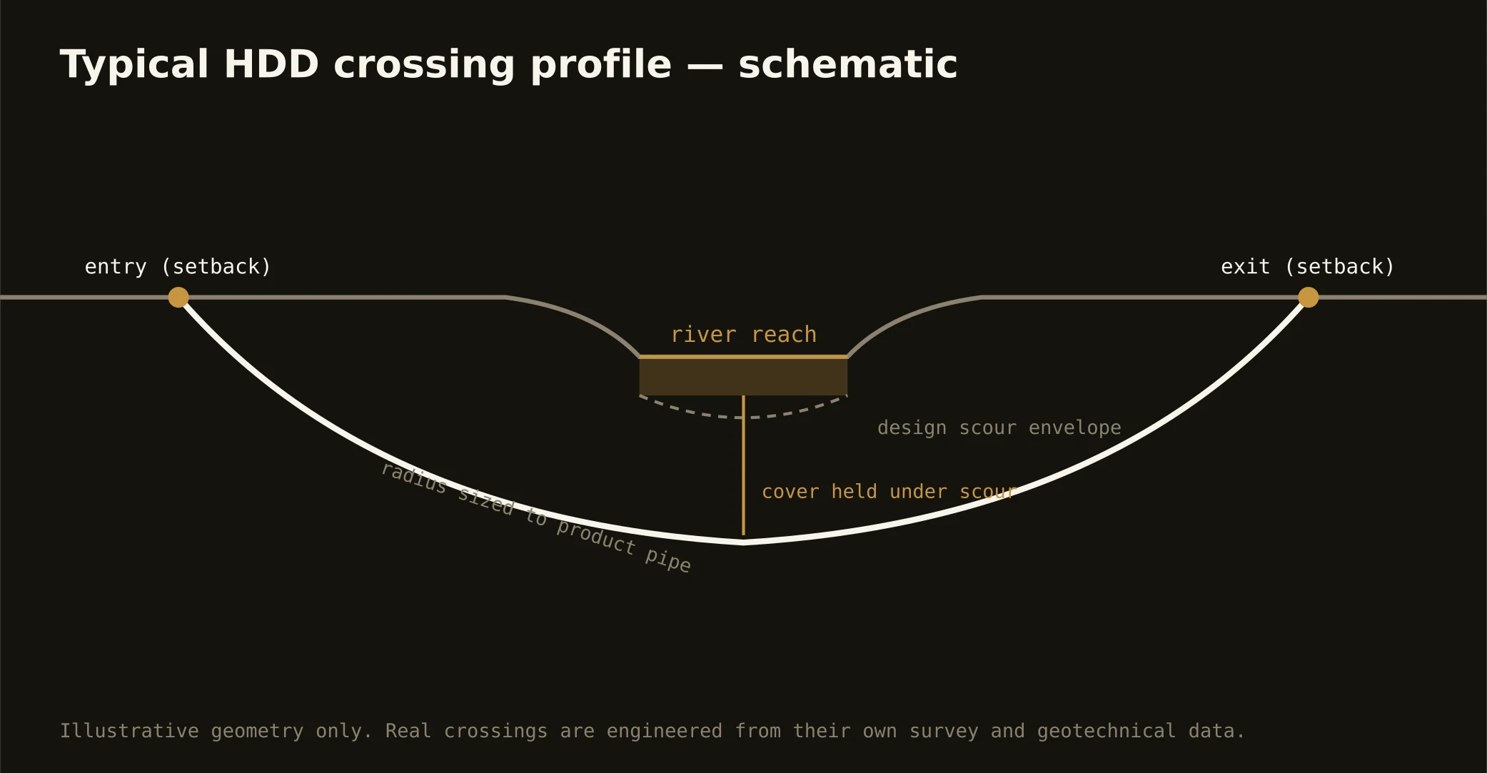
The White River is Central Indiana's spine — winding from Hamilton's reservoir country through downtown's rebuilt riverfront and on toward Morgan's bottomlands — and it's the crossing the metro's utilities meet most. The signature bore runs beneath it: entry and exit set back from the banks, a profile holding cover under channel and scour, and an alignment drilled through the river's own geology, because the valley is where the glacier's meltwater left its coarsest work.
That geology is the technical story: White River crossings ride outwash — sands and gravels with real groundwater flow, cobble content that tests tooling, and the occasional boulder the meltwater parked mid-valley. Geotech drives the profile, the gravel drives the fluid plan, and containment stages on both banks with the response plan written before the pilot, at wellfield-protection seriousness where the maps apply it.
The authority stack is state-and-local: Indiana's floodway construction authorization for work in the regulated floodway, water-quality certification where it applies, the parks and greenway interests that line the metro reaches, and the road or rail owner overhead. Tributary crossings — Fall Creek, Eagle Creek, the forks — carry the same doctrine at friendlier scale. Our quotes name the stack for your actual reach and schedule to its honest clocks.