How Directional Drilling Works in Central Indiana Ground
Till plain, with leftovers
The glaciers flattened Central Indiana and left it dressed in till — clay-rich, stone-studded ground that is genuinely excellent drilling: cohesive, predictable in the steer, kind to a fluid program. Its exceptions are inherited: cobbles and boulders scattered through the matrix wherever the ice dropped them, and outwash corridors of sand and gravel along the old meltwater routes — today's river valleys — where drilling turns wet and granular. The competent local posture prices till and outwash as separate classes and treats the boulder as a planned encounter: probe, adjust, or re-shoot, with the economics printed beforehand.
Bedrock, mostly a rumor
Under the till, Indiana's limestone country is real — but across most of the metro it sits below utility depths, felt mainly in the deepest crossings and toward Morgan County's south, where the cover thins toward the hill country. For ordinary bores, the working ground is the glacier's, not the bedrock's; the quote says so, and flags the southern edges where the assumption changes.
The sequence, Midwest edition
The bones are standard — locates plus private designating, potholes on every claimed utility, pilot on profile, ream to about one and a half times the product, pull, restore. Midwest bends: boulder response staged from the first rod, outwash pits pumped and shored, frost windows planned around, erosion control run to the state's stormwater rules, and restoration timed to a growing season that actually exists.
Who owns what you're crossing
Marion's streets run through the consolidated city-county's process; the suburban cities and towns — Carmel, Fishers, Greenwood, Plainfield, and the rest — run their own; county highway departments cover the rural map; INDOT permits the state system and the crossroads' interstates. The White River brings the state's floodway authorization and the greenway interests of its metro reaches; railroads permit their corridors; the data-center counties add campus coordination at tempo. The quote names every owner on your alignment; each one is schedule.
Straight answers
Will you hit a boulder on my bore?
The honest answer: maybe, and no map will say where — the ice scattered its erratics without filing a plan. What can be promised is the response: encounter procedures and re-shoot economics stated in the quote, so a boulder is a line item executing as designed rather than a dispute being born.
How deep do bores run under Central Indiana streets?
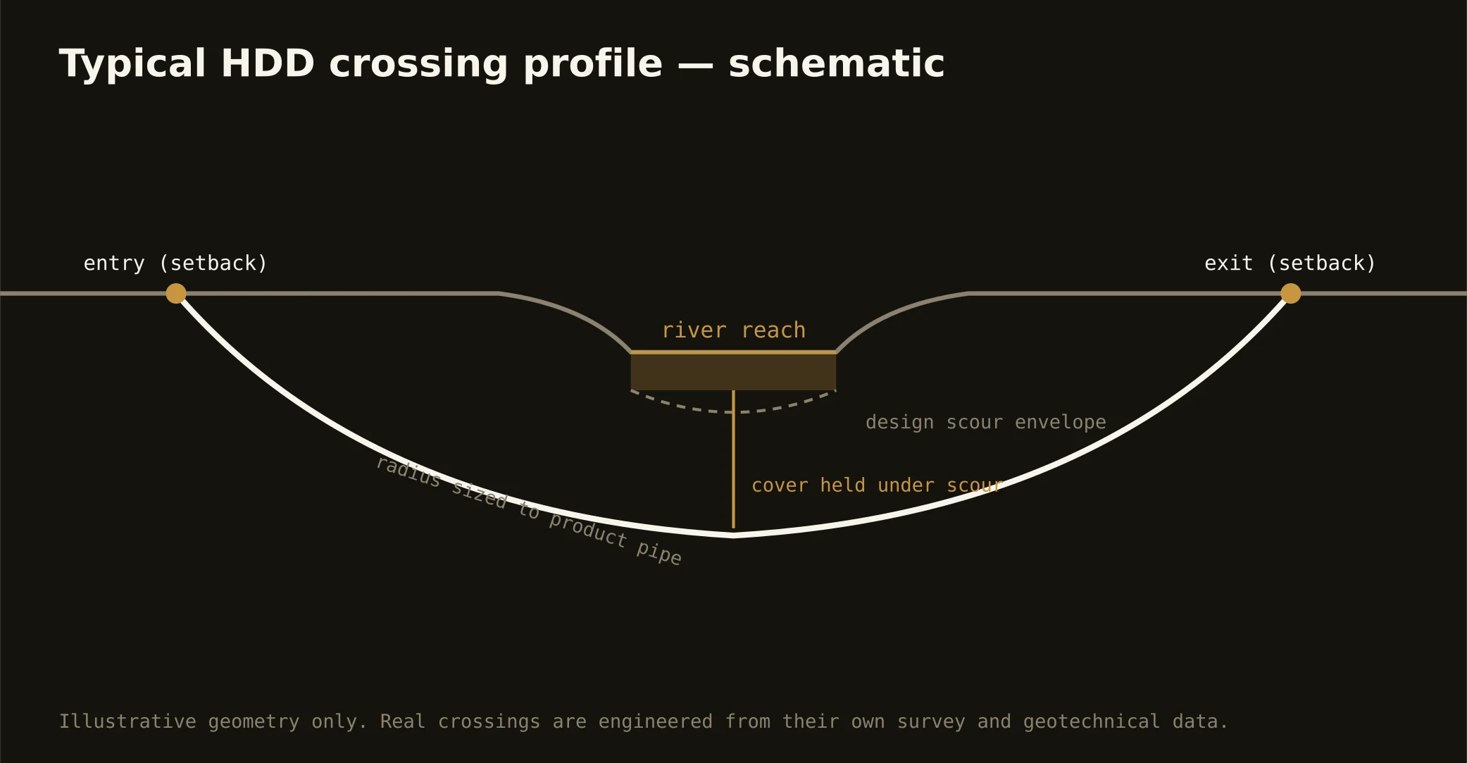
Cover follows the owning authority's standard and sits below everything potholed on the alignment; river crossings run deeper on the floodway authorization's engineering. Till holds a bore well at ordinary depths — the plan states your number before the rig moves.
When's the best season to drill here?
Late spring through fall gives the smoothest surface logistics; winter work is routine with cold-weather management; early spring asks the most, when thaw and water tables gang up on pits. If your schedule can choose, the quote will show the difference — and if it can't, the plan is built for the season you've got.
Ready to put a number on a real crossing? Send the scope — a person prices it.